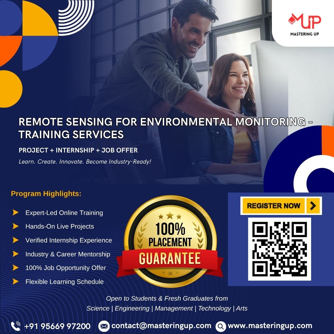
Remote Sensing for Environmental Monitoring – Training Services offers a detailed understanding of how satellite and aerial imagery can be used to monitor environmental changes across land, water, and atmosphere. Participants will explore key concepts such as spectral signatures, image classification, change detection, and GIS integration. The training covers applications in deforestation tracking, water quality assessment, urban expansion analysis, and disaster impact evaluation. Emphasis is placed on using remote sensing tools and software for data interpretation and environmental decision-making.
Training and Internship
Remote Sensing for Environmental Monitoring – Training Services
Original price was: ₹15,000.00.₹6,000.00Current price is: ₹6,000.00.
Remote Sensing for Environmental Monitoring – Training Services offers a detailed understanding of how satellite and aerial imagery can be used to monitor environmental changes across land, water, and atmosphere.
Related products
-
Training and Internship
Getting Started with Flutter – Training Services
Original price was: ₹15,000.00.₹6,000.00Current price is: ₹6,000.00. Book now -
Training and Internship
Introduction to Mobile App Development – Training Services
Original price was: ₹15,000.00.₹6,000.00Current price is: ₹6,000.00. Book now -
Training and Internship
Local Storage and Databases in React Native – Training Services
Original price was: ₹15,000.00.₹6,000.00Current price is: ₹6,000.00. Book now -
Training and Internship
Dart Programming Fundamentals for Flutter – Training Services
Original price was: ₹15,000.00.₹6,000.00Current price is: ₹6,000.00. Book now