Remote Sensing Using Laser Altimetry – Training Services focuses on the principles and applications of laser altimetry for accurate Earth and planetary surface mapping. The training covers fundamentals of Light Detection and Ranging (LiDAR), laser pulse transmission and reflection, time-of-flight measurements, and data acquisition systems. Participants will explore applications in topographic mapping, forestry, hydrology, urban planning, and climate studies. Advanced modules include waveform analysis, error correction techniques, sensor calibration, and integration of LiDAR data with GIS and remote sensing platforms. Hands-on training emphasizes processing real-world datasets for terrain modeling and environmental monitoring. This program is ideal for researchers, geospatial professionals, and engineers working in Earth sciences, aerospace, and environmental applications.
Training and Internship
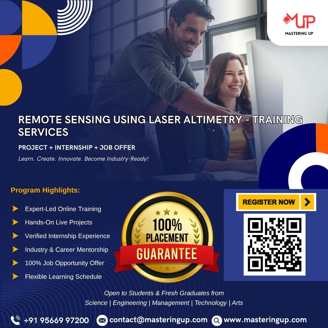
Remote Sensing Using Laser Altimetry – Training Services
Original price was: ₹15,000.00.₹6,000.00Current price is: ₹6,000.00.
Remote Sensing Using Laser Altimetry – Training Services focuses on the principles and applications of laser altimetry for accurate Earth and planetary surface mapping.
Related products
-
Training and Internship
Responsive Design in Flutter Apps – Training Services
Original price was: ₹15,000.00.₹6,000.00Current price is: ₹6,000.00. Book now -
Training and Internship
Integrating APIs with React Native Apps – Training Services
Original price was: ₹15,000.00.₹6,000.00Current price is: ₹6,000.00. Book now -
Training and Internship
Building Navigation in Flutter Apps – Training Services
Original price was: ₹15,000.00.₹6,000.00Current price is: ₹6,000.00. Book now -
Training and Internship
Animations and Transitions in Flutter – Training Services
Original price was: ₹15,000.00.₹6,000.00Current price is: ₹6,000.00. Book now