GIS and Remote Sensing for Water Resource Management – Training Services offers specialized training in utilizing geospatial technologies to monitor, assess, and manage water resources effectively. Participants will gain practical skills in satellite image analysis, watershed mapping, hydrological modeling, and land use classification using tools like ArcGIS and QGIS. The program emphasizes applications in flood risk mapping, drought assessment, groundwater recharge estimation, and planning sustainable water infrastructure. This course is ideal for water professionals, environmental engineers, and policy planners involved in integrated water resource management.
Training and Internship
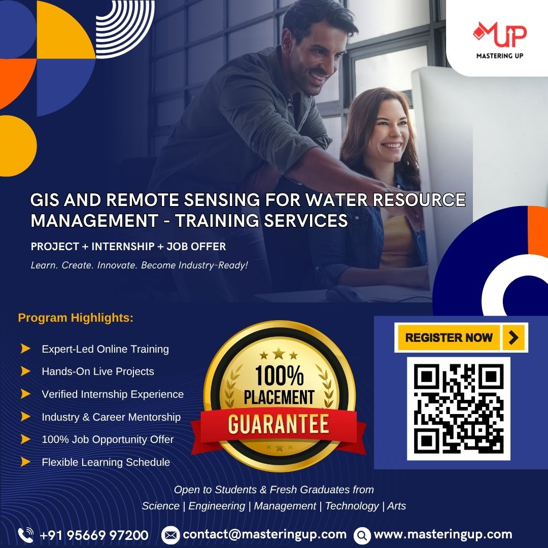
GIS and Remote Sensing for Water Resource Management – Training Services
Original price was: ₹15,000.00.₹6,000.00Current price is: ₹6,000.00.
GIS and Remote Sensing for Water Resource Management – Training Services offers specialized training in utilizing geospatial technologies to monitor, assess, and manage water resources effectively.
Related products
-
Training and Internship
Introduction to Mobile App Development – Training Services
Original price was: ₹15,000.00.₹6,000.00Current price is: ₹6,000.00. Book now -
Training and Internship
Firebase Integration with React Native – Training Services
Original price was: ₹15,000.00.₹6,000.00Current price is: ₹6,000.00. Book now -
Training and Internship
Introduction to React Native Development – Training Services
Original price was: ₹15,000.00.₹6,000.00Current price is: ₹6,000.00. Book now -
Training and Internship
Local Storage and Databases in React Native – Training Services
Original price was: ₹15,000.00.₹6,000.00Current price is: ₹6,000.00. Book now